Muir Glacier
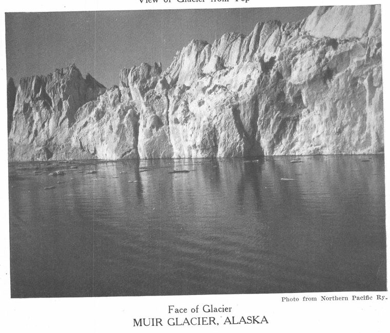
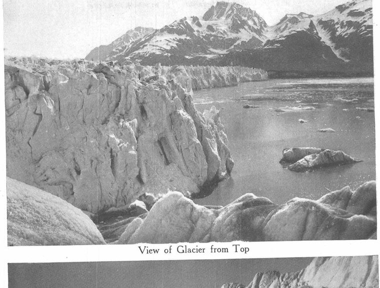
a field of ice on the coast of Alaska. It was named for John Muir, the eminent naturalist, who visited it in 1879. It flows from the southeastern or continental slope of the southern part of St. Elias range into the head of Glacier Bay. Although there are greater and more elevated ice fields in Alaska, the Muir Glacier is considered the most remarkable on the western continent. It embraces an area of 354 square miles. When first seen by Muir it was a live glacier, a mass of ice advanced into the sea, forming a mighty wall two miles long and 250 feet high. The bay was comparatively free from ice. Tourists in ships approached the foot of the wall in awe and amazement. Great ice masses topple into the sea with a noise like thunder. The towering wall, the rending of the ice, the echoes, the splashing of water, and the bobbing icebergs combined to render a visit the event of a lifetime. In 1889 an earthquake precipitated the front of the glacier into the sea, and so filled the bay with icebergs that ships were unable to enter for nine years. Now that the service has been resumed it is found that the front has suffered serious change. A hill, only the peak of which could be seen inland, now divides the glacier into two arms. One arm is "live"; it still reaches the sea and icebergs break from it with fearful crashes. The other arm is dead; it melts away four miles before it reaches the sea and is separated from the shore by a wide moraine. Davidson Glacier, a tongue of Muir Glacier, is ascended by tourists. There is no regular landing, but the adventurous go ashore in small boats.