Rocky Mountains
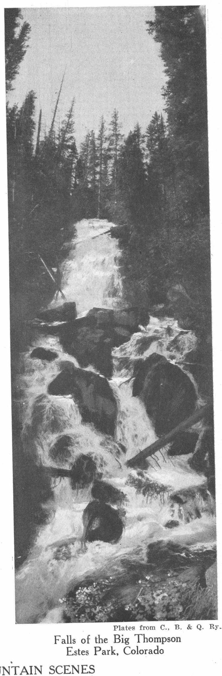
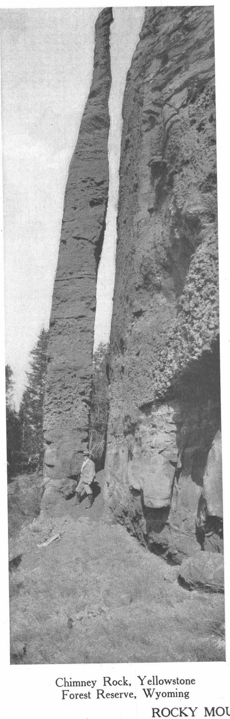
the predominant mountain system of North America. It corresponds to the Andes of South America. In its widest application, the Rocky Mountain system includes the entire mountainous region of the West, extending from Alaska to Central America. Ordinarily, however, the Coast Range, the Cascades, the Sierra Nevada, and the Cordilleras of Mexico are excluded. In the narrower use of the word, the Rocky Mountain range extends from the high land between the Yukon and the Mackenzie River to the Rio Grande. It traverses western Canada, Colorado, Idaho, Montana, Wyoming, Utah, and New Mexico. Subordinate ranges are known locally as the Coeur d'Alene, Bitter Root, Salmon River, Big Horn, Crazy, Shoshone, Wahsatch, Medicine Bow, Sawatch, and Elk Mountains. The most easterly spur is known as the Black Hills. The Rocky Mountains may be said to stand on a plateau about 4,000 feet in elevation. The chief passes are about 6,000 feet in altitude. The principal peaks are Pike's Peak, Long's Peak, Gray's Peak, Mount Harvard, Mountain of the Holy Cross, Uncompahgre and Blanca Peak, all over 14,000 feet in height. The sources of the Saskatchewan, the Missouri, Platte, Arkansas, Rio Grande, Columbia, and Colorado are in the Rocky Mountains. For an account of the storehouses of minerals, the parks and defiles and mountain scenery, the reader is referred to the separate articles on the states, rivers, and cities of this region.